 SurveyorSim
surveyorsim.com · field notes, page 1
A working survey crew, in your browser
Set up the total station over the mark. Run the rod. Turn angles, tape a line, keep the book — and close the loop knowing every hundredth of misclosure is yours. SurveyorSim is a scientifically accurate land surveying simulator: real instruments, real field procedure, and a real error model underneath all of it.
free to play · no install · runs on a Chromebook
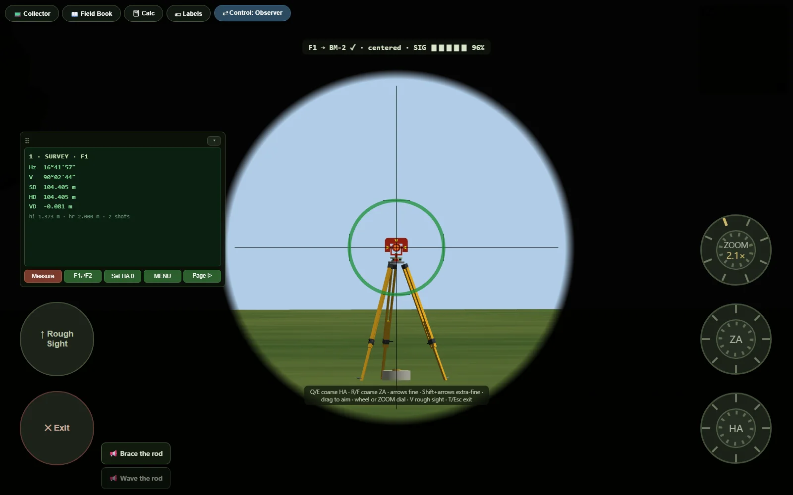
Who's on the crew today?
pick your page —Every student runs the instrument
One lab kit can't teach thirty students at once. Give each of them a full instrument set, publish assignments with real tolerances, and grade against the ground truth — the sim knows the true elevations because it built the terrain.
Read the instructor's page ▸ For studentsThe whole kit is yours
Set up over the point, run a level loop, keep the book, close the traverse — as many times as it takes. Whether it's practice before lab day or your course runs entirely online, the instrument in front of you is a real one.
Read the student's page ▸ For sim playersThe most honest machine in sim gaming
If you love flight sims, train sims, or farming sims, this is that — for the instrument that measured every property line you've ever crossed. Real optics, real math, multiplayer crews, and a closure number that is entirely your fault.
Read the player's page ▸What's in the kit
everything below is simulated, not skinned- A total station with faces, circles, and settings menus — DMS readouts, angle-right workflow, Face 1 ⇄ Face 2, EDM measurement modes, prism constants, atmospheric ppm you set from a thermometer and barometer you read yourself.
- An automatic level and a 25-foot rod whose face is drawn to exact graduation geometry — you read hundredths by eye, wave the rod through plumb, and book the minimum.
- A 100-foot engineer's chain with a ring of eleven chaining pins and the real tally discipline.
- A data collector in the SurvCE mold: station setup, sideshots, traverse, D/R sets, stakeout, on-board COGO, and raw-file processing with compass-rule adjustment.
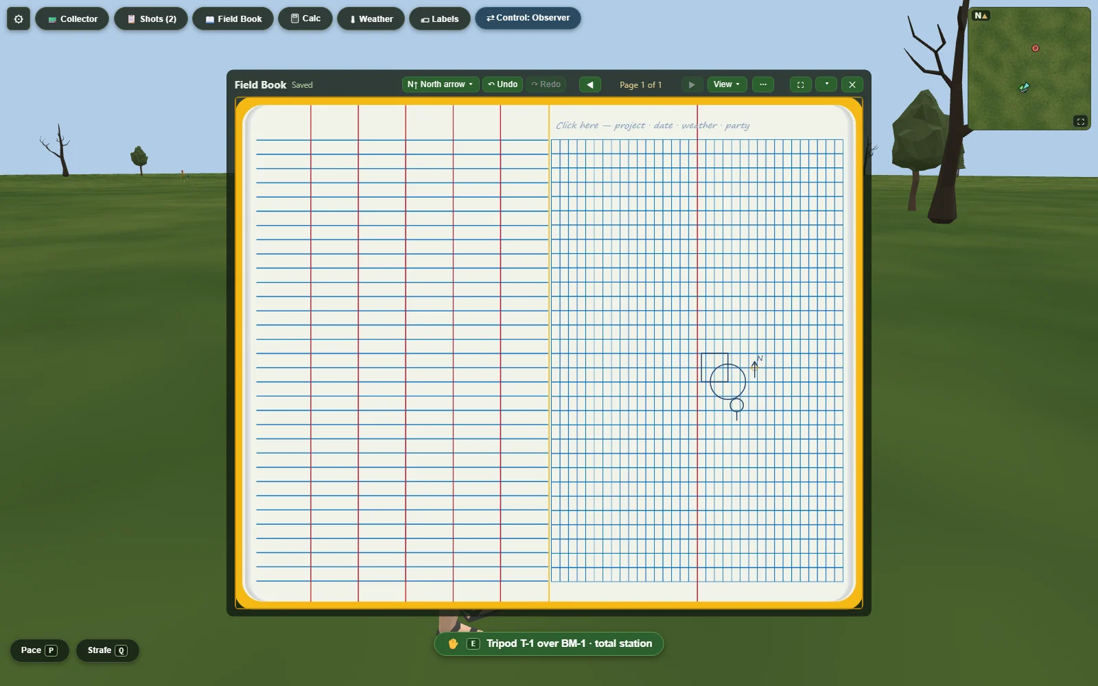
- The field book — ruled left page, graph right page, no-erase corrections, and a sketch you draw yourself.
- A magnetic locator and a shovel, because half of surveying is finding what the last crew left in the ground.
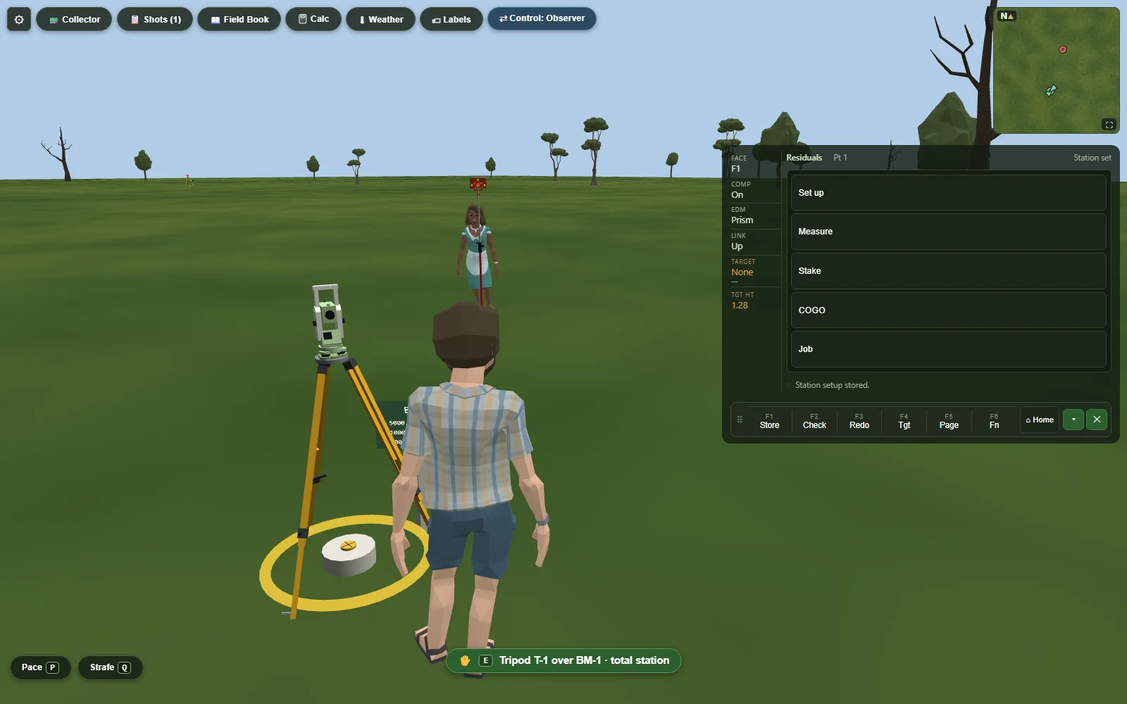
The part nobody else builds: the error
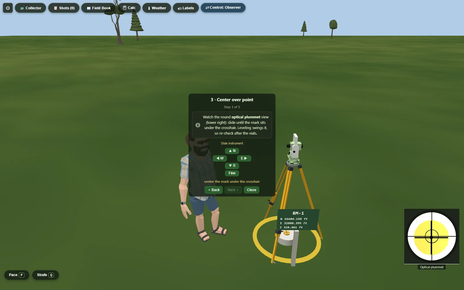
Most "educational" software shows you a procedure. SurveyorSim gives you an instrument with the textbook's whole systematic-error chapter running underneath: collimation you can cancel by shooting both faces, an EDM with a zero offset and a scale error, a compensator with a residual, curvature and refraction bending your long level shots, and a rodman whose breathing sways the rod until the call goes out to brace it.
Every world is seeded. Same seed, same terrain, same error sequence — so a class can compare misclosures, an instructor can grade against truth, and when your loop doesn't close, the reason is in your notes.
By the numbers
booked, checked, initialed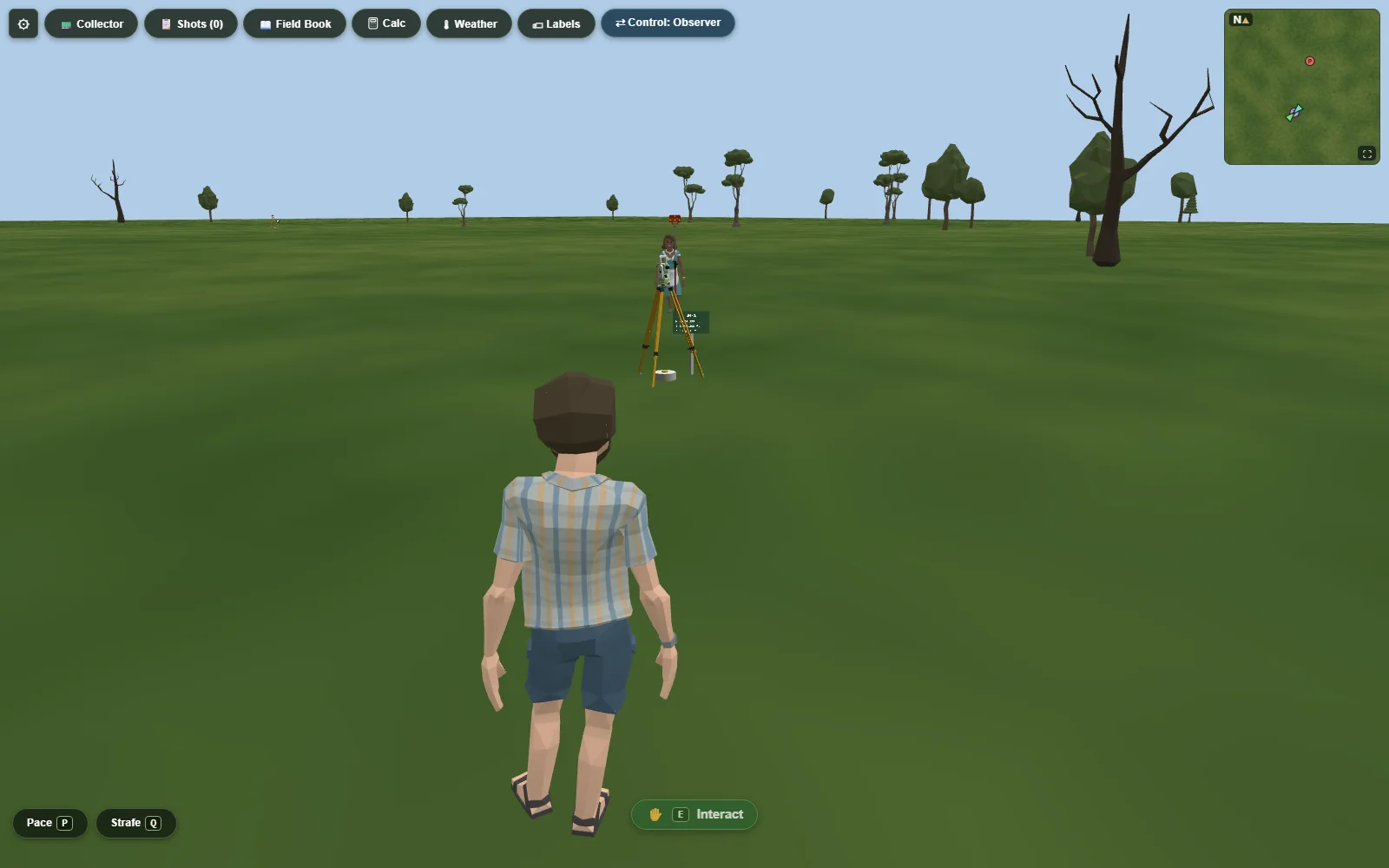
The field is open
No account, no download, no tutorial gate. The tripod is fifty feet ahead of you.